
Some additional notes on NASA World Wind 1.3.4
I wanted to make some additional comments about Casey Chesnut's Virtual Earth plug-in and World Wind in general. To address possible speculation, my understanding of the NASA World Wind philosophy is that it includes the desire to keep the software's data public domain. Thus, though Microsoft is allowing data and functionality from their Virtual Earth business unit to be used within World Wind, do not expect the data to be included in the World Wind core product. Nevertheless, the Virtual Earth/NASA World Wind mashup is groundbreaking, and may signal the first glimpse of detectable competition for Google Earth.
Besides the measure tool mentioned in my earlier post, some other 1.3.4 features I noticed include:
Besides the measure tool mentioned in my earlier post, some other 1.3.4 features I noticed include:
- An ESRI shapefile loader---for points, polylines, and polygons. It requires a user-created XML helper file, so things are far from automated. Better shapefile functionality is listed as a goal of the release
- A movie maker plug-in bundled with the installation
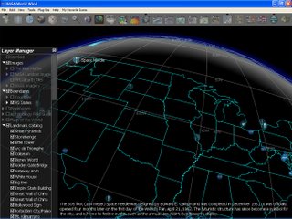
- Atmosphere effects somewhat similar to Google Earth as an optional layer

posted by Alan Glennon at
11:55 PM
![]()

